Data Averaging Method for Standard and Enhanced-resolution Data
SolarAnywhere historical and real-time data is generated at the native temporal resolution of 30 minutes, corresponding to the frequency of global satellite image retrieval.
Standard, hourly resolution data is averaged from the 30-minute data using standard top-of-hour, end-of-period integration. Cloud cover at times when satellite images are collected are projected to top-of-hour, end-of-period using techniques to normalize irradiation against the time period. Hourly data will represent the normalized irradiation from the preceeding hour (e.g., 11:00 represents 10:00 to 11:00).
Enhanced, 15-minute resolution data is interpolated from the native 30-minute resolution data.
High-resolution Data
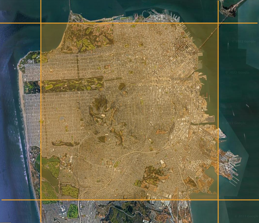
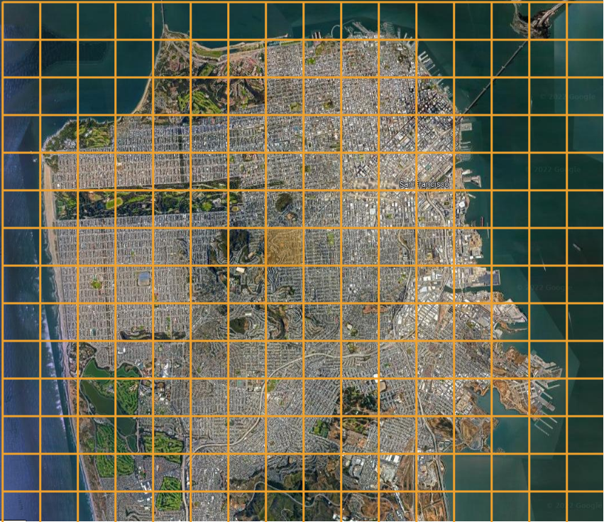
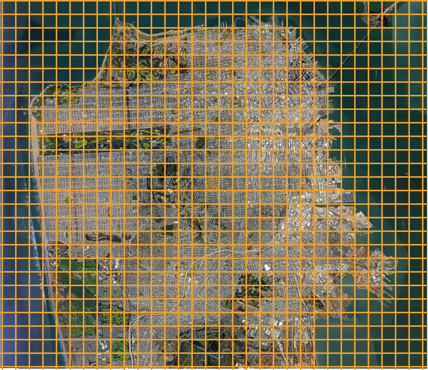
SolarAnywhere High-resolution data takes advantage of modern satellites, such as GOES, to generate 5-minute, 500 meter nominal native resolution on-demand. To learn more about SolarAnywhere High-resolution data, and True Dynamics™—a unique methodology for preparing satellite images for sub-hourly analysis—visit the Support Center.
Try It with SolarAnywhere Public
You can view Standard, Enhanced and High-resolution data at select cities across the globe by registering for a no-cost SolarAnywhere Public account.


