
Typical year irradiance datasets (TGY, TDY) summarize solar resource at a location. This data is generated to reflect the most probable (P50) monthly total irradiance, based on a long history of solar resource. SolarAnywhere calculates typical year data from a maximum span of time-series observations for each region—more than twenty-five years in many areas.
Our base Typical Year license has a resolution of 10 km and our enhanced Typical Year+ license supports native resolutions down to 1 km. Both the base and enhanced licenses include many other meteodata fields, soiling estimates and integrations with design tools. In this article, we examine how a location-specific sensitivity analysis may inform your PV project. We also discuss how the use of native resolution satellite imagery impacts uncertainty of solar PV projects.
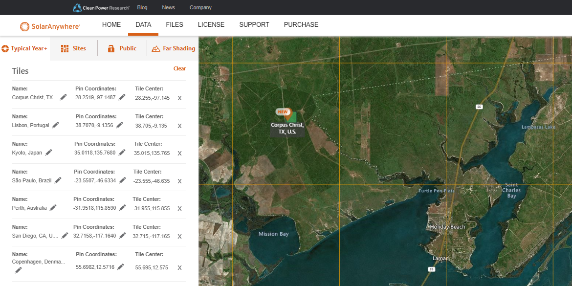
Spatial sensitivity analysis using SolarAnywhere Typical Year data
Clean Power Research® assessed the sensitivity of SolarAnywhere higher-resolution Typical Year data across select climate classifications as listed in Table 1, below. Clients prospecting across many potential PV project locations may detect sharp gradients in solar resource for locations in close proximity. Higher resolution irradiance datasets help you realize and act on this risk.
For each location listed below, we visualize solar resource via a simple metric of total solar insolation (W/m2) within a 10 km area according to the underlying maximum resolution of the TGY dataset. We also break down the results by Koppen Climate Classification to explore climate-specific sensitivity.
Figure 1: Distribution of Solar Insolation by Climate Type in 10 km Grid

Hot arid desert climate
Hot, dry desert climates are generally consistent throughout the year (barring monsoons) and have many days near or at a clear-sky index. As a result, there is a less direct benefit to high resolution data in hot, arid desert climates because one location is very much like the other. In the histogram shown in Figure 2, below, most solar insolation in this 100-tile, 10 km square grid fall approximately normally about the center. However, there is still some variability.
Figure 2: Arizona Desert, U.S. (33.7248, -111.7541)


Humid subtropical climates
Some climate zones such as humid subtropical have weather and climate patterns that vary significantly intraday and interannually.
This is especially true at this Texas Gulf Coast location where the range of annual solar insolation can be 2% within a 10 km grid. This is likely significant because it is greater than the estimated rMBE of this climate type using SolarAnywhere data (about 1%). In fact, solar resource appears to be bimodal in this area, with two clear peaks as shown in the histogram in Figure 3, below, reflecting real physical weather phenomena such as hurricanes that normally make landfall to the east or south.
In this special case, building a PV plant just 5 km towards the arid west is more likely to produce a greater amount of power during its lifetime.
Figure 3: Texas Gulf Coast, USA (28.6493, -97.9342)


Figure 4: Trinitapoli, Italy East Coast (41.3693 , 16.0234)


Oceanic climates
At this location in Spain, we see a lower solar potential at the bottom of the grid in Figure 5. This reflects the physical change in topography—small mountains—that encourage cloud accumulation and rain. Using high-resolution Typical Year data, we can see that building a site within the bottom left corner of the grid is likely to have lower resource long term.
Figure 5: Spain West Coast (42.8777, -8.5444)


Native Resolutions of Satellite Sources
One of the most common questions we get is: “Does higher resolution mean more accurate data?” The short answer is no; higher resolution alone does not equate to accuracy, and selecting a dataset based only on stated resolution may not lead to acceptable results.
Key to reducing PV project risk is the accuracy of the underlying irradiance data source, which is dependent on model accuracy. Model accuracy is strongly influenced by technical considerations such as: satellite image calibration and ranking; underlying assumptions in atmospheric equations; techniques in quality control pipelines; and even the shortcomings of pyranometers used for validation. Take, for instance, a model that has some bias high or low. Interpolating data or synthetic generation between estimations does not necessarily result in reductions of intrinsic bias.
“At Clean Power Research, we focus closely on validating the soundness of our core model in addition to understanding the impact of native resolutions from each satellite source.”
At Clean Power Research, we focus closely on validating the soundness of our core model in addition to understanding the impact of native resolutions from each satellite source. Where data providers differ is in the rigor of quality control, transparency in methods and technical expertise in modeling.
Data validation and version control
All SolarAnywhere irradiance datasets, including Typical Year data, are version controlled. This means they are kept consistent for years so they are available throughout a project lifecycle. In the spirit of transparency and continuous improvement, SolarAnywhere models are updated and corresponding validation is published with our findings annually.
Conclusion
High-quality, higher-resolution irradiance datasets can help you make more informed decisions concerning solar potential. As demonstrated here, significant differences can exist in nearby locations, and performing a sensitivity analysis (such as those shown above) lowers risk and adds insight to solar PV projects.
Learn how simple it is to access SolarAnywhere Typical Year+ by watching this video, or explore Typical Year+ pricing options.
Still too uncertain? Tuning studies create a site-specific dataset
Validated datasets alone may not satisfy the uncertainty requirements of some investment decisions. This is especially true as physical size (and financial risk) of utility scale PV plants continues to grow. In these cases, project owners may choose to deploy ground instrumentation and conduct what is known as a solar resource study or ground campaign.
Clean Power Research provides ground tuning (aka site adaptation) studies to generate a more reliable, long history of data to be used for design and prospecting in place of standard SolarAnywhere datasets.
Tunings are one of the most comprehensive actions that can be taken as a part of project due diligence. To learn more, visit the SolarAnywhere Support Center.
Further reading
- Koppen Climate Zones. June. National Oceanic and Atmospheric Administration (NOAA). Link
- SolarAnywhere Data Validation V3.7. 2023. Clean Power Research. Link
- Perez R, David M, Hoff TE, Jamaly M, Kivalov S, Kleissl J, Lauret P, Perez M. 2016. Spatial and Temporal Variability of Solar Energy. Foundations and Trends® in Renewable Energy. Vol. 1: No. 1, pp 1-44. DOI: 10.1561/2700000006. Link
- Wagner K, Kubiniec A, McAlister T, Perez R. 2023. The Importance of Data Quality for Reducing the Uncertainty of Site-Adapted Solar Resource Datasets. 2023 IEEE 50th Photovoltaic Specialists Conference (PVSC). DOI: 10.1109/PVSC48320.2023.10360048. Link
- SolarAnywhere Tuning Studies. 2024. Clean Power Research. Link
- Habte A, Lopez A, Sengupta M, Wilcox S. 2014. Temporal and Spatial Comparison of Gridded TMY, TDY, and TGY Data Sets. National Renewable Energy Laboratory (NREL). NREL/TP-5D00-60886. Link