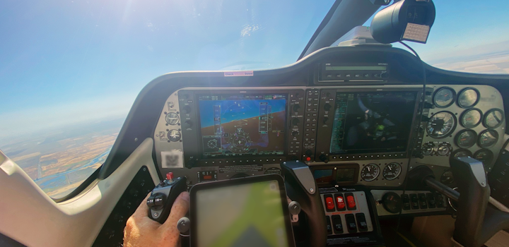
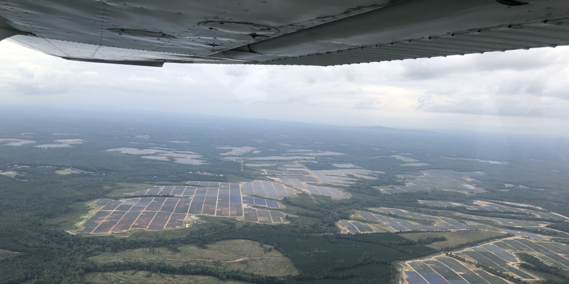
Zeitview (formerly known as DroneBase) is an innovator in the field of aerial energy system inspections. They recently launched North American Solar Scan, a service that provides insight into every solar asset in the U.S. above 1MW.
Zeitview utilizes planes and drones equipped with RGB and thermal sensors to detect solar asset malfunctions in sustainable energy projects around the world. The flyovers are a fast and effective way to assess energy systems; however, a minimum level of solar irradiance must be available during each inspection. Their team uses SolarAnywhere’s high-accuracy solar resource data to ensure the quality of their aerial assessments and avoid costly repeat inspections.

Read the case study to learn more about Zeitview, and how its groundbreaking energy system inspections and reports are enhanced with industry-leading SolarAnywhere irradiance and meteorological data.
“SolarAnywhere® has a longstanding reputation as a premier provider of solar resource data, so we naturally gravitated toward them when looking for a solution. My priority was data accuracy and consistency of the data, and SolarAnywhere offered both the accuracy I needed and consistency needed across a wide geography.”
– Burton Putrah, Senior Product Manager at Zeitview
